kohtao-live.com
Sairee
Dive

HTMS Sattakut

Dive · Sairee · Koh Tao

Former US Navy landing craft from World War II, later in the Royal Thai Navy, sunk off the west coast in June 2011 as an artificial reef. About 49 m long and upright on sand, with the wheelhouse at about 18 m and the seabed at about 30 m. For Advanced Open Water divers, and visibility can be poor.

Area
Sairee, Koh Tao
Category
Dive
Coordinates
10.1056° N, 99.8135° E

Quick answers

What is HTMS Sattakut?

Former US Navy landing craft from World War II, later in the Royal Thai Navy, sunk off the west coast in June 2011 as an artificial reef. About 49 m long and upright on sand, with the wheelhouse at about 18 m and the seabed at about 30 m. For Advanced Open Water divers, and visibility can be poor.

Where is HTMS Sattakut on Koh Tao?

HTMS Sattakut is in Sairee on Koh Tao.

Nearby

More on Koh Tao: Dive

On the map

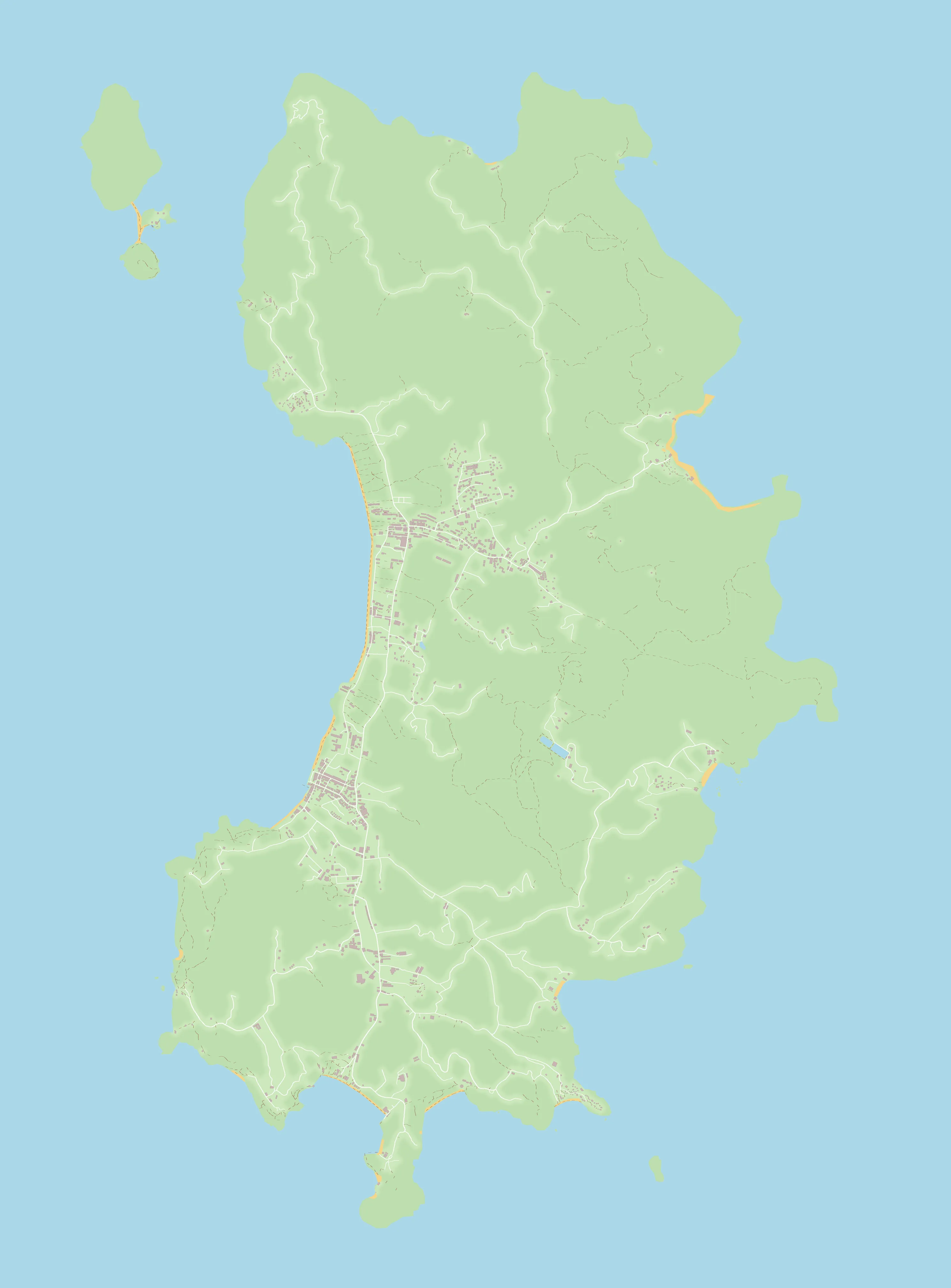
Show on the island map →OpenStreetMap contributors (ODbL)
← the island